Date:
November 1755
Title:
D'Anville Map
Description:
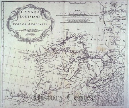
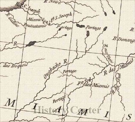
The Three Rivers and the Confluence
Distinguished geographer and cartographer Jean-Baptiste Bourguignon D'Anville created this map in 1755. The map shows the location of Ft. Miami near the seven mile portage from the St. Mary's River to the Little and Wabash Rivers. This portage was the only overland journey necessary on the shortest route between the French colonies of Canada and Louisiana. The fort was built here to protect both the portage and French trade with the Miami. The confluence of the three rivers (St. Mary's, St. Joseph and Maumee) provided ample natural resources and trade routes making this land especially desirable for settlement.
This French map was the most reliable one of this area in the 1700s; however, it was not completely accurate. Later General Anthony Wayne would be sent to obtain control of the area from Native Americans in order for the United States to sell the land. His victory at the Battle of Fallen Timbers in 1794 lead to the signing of the Treaty of Greenville in 1795 which opened up much of the land to white settlement.


